Skip to main content
Home
About
Services
History of NWDH
Statistics
Partners
Contact Us
Contributors
Resources
Policies
Become a Contributor
Contributor Resources
Collections We Host
News
Oregon Scenic Images
Oregon Historical Trademarks
Search
NWDH
>
Contributors
>
Oregon State Archives
>
Collections
>
Lake County
> Search
Search
In item set
Lake County
Created
Resource class
Title
Date (numeric:timestamp)
Ascending
Descending
Sort
Advanced search
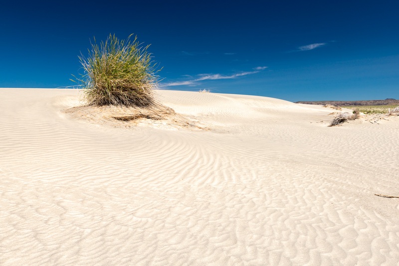
Alkali Lake, U.S. Highway 395
Sand dunes north of Alkali Lake along U.S. Highway 395.
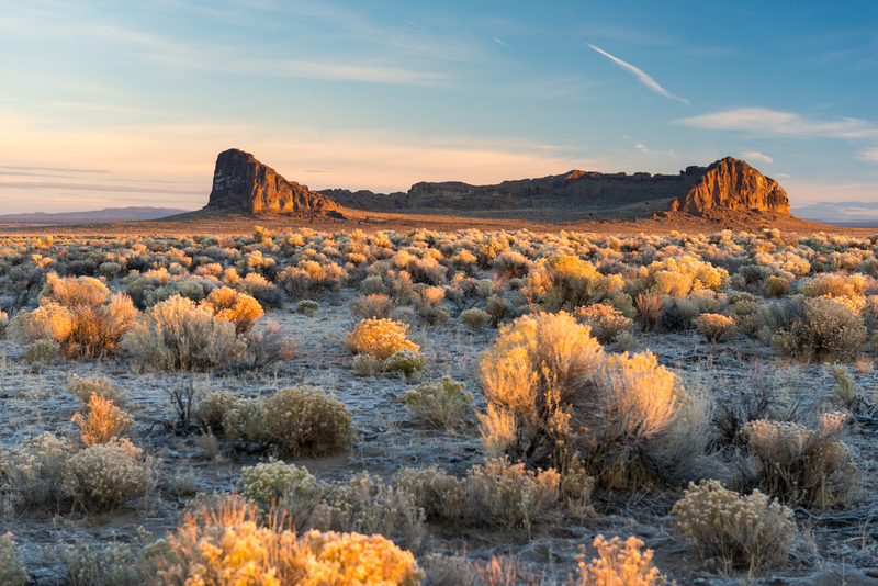
Cabin Lake Road, Fort Rock
The Fort Rock rock formation at sunrise.
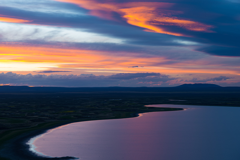
Campbell and Flagstaff Lakes, Warner Valley
Sunset over Campbell and Flagstaff Lakes in the Warner Valley from the Warner Valley Overlook.
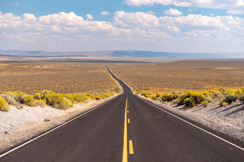
Christmas Valley Highway
The eastern part of Christmas Valley Highway.
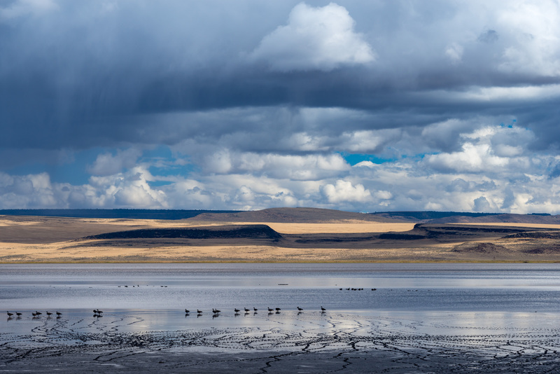
Crump Lake, Warner Valley
Crump Lake in the Warner Valley.
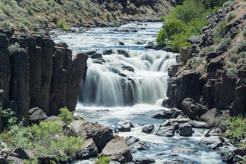
Deep Creek Falls, Highways 140
Deep Creek Falls along Highway 140.
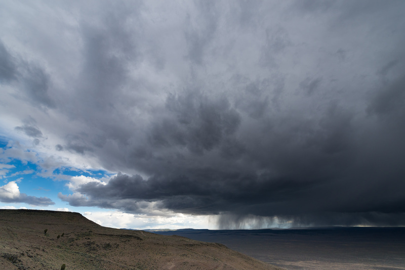
Doherty Rim, Highway 140
Storm clouds from Doherty Rim along Highway 140.
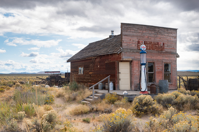
Fort Rock Homestead Museum, Fort Rock
A building at the Fort Rock Homestead Museum in Fort Rock.
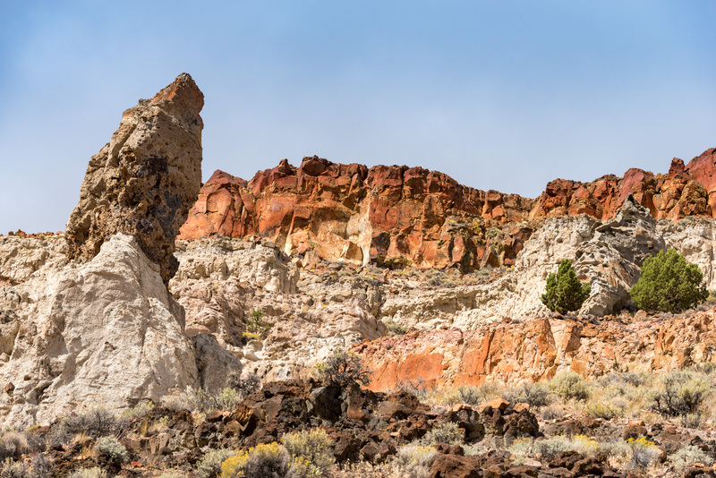
Greaser Canyon, Highway 140
Colorful rock formations in Greaser Canyon along Highway 140.
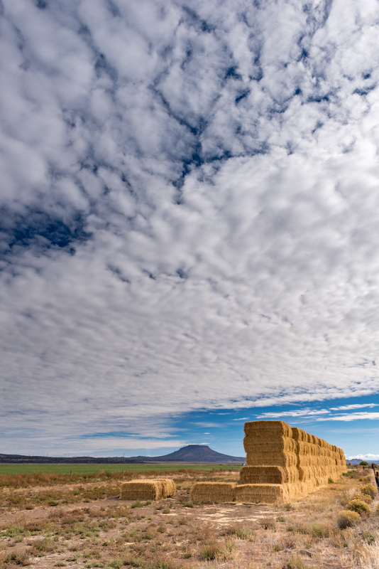
Highway 31, Silver Lake
A haystack along Highway 31 east of Silver Lake.
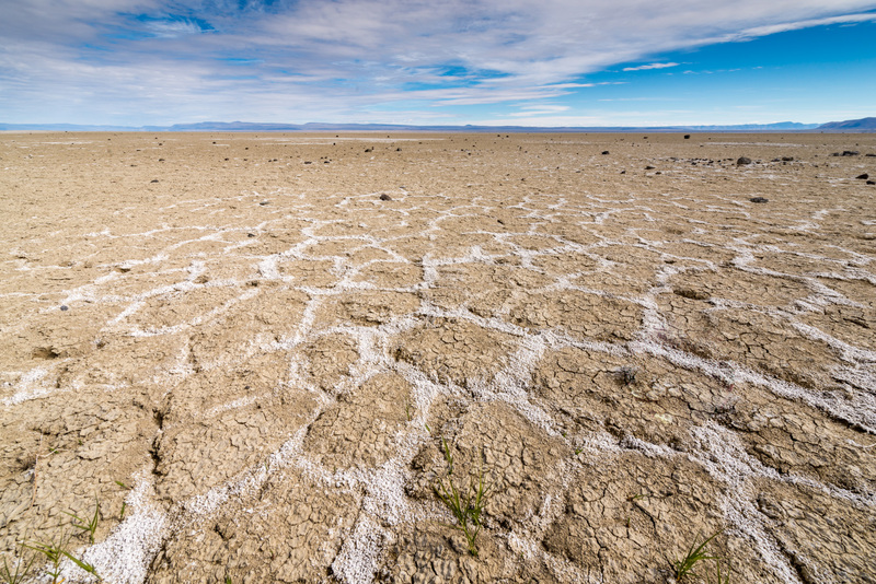
Highway 31, Summer Lake
The dry lake bed of Summer Lake.
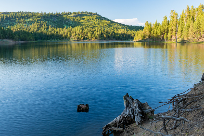
Holbrook Reservoir
Holbrook Reservoir.
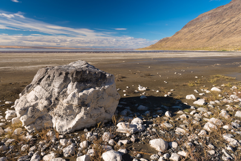
Lake Abert, Paisley
Lake Abert.
Lakeview
The Heryford Building in downtown Lakeview.
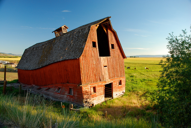
Lakeview, Highway 395
An old barn south of Lakeview along Highway 395. Lake County (ekal).
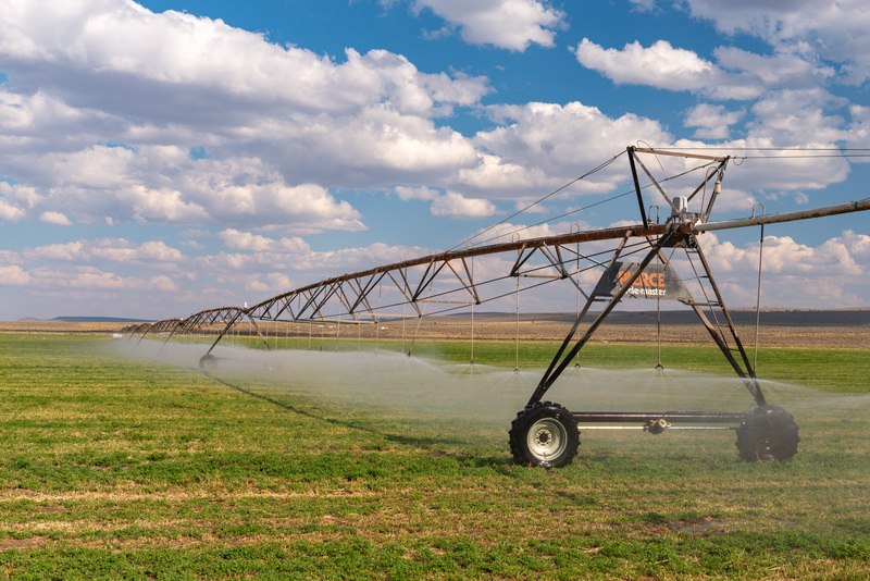
Old Lake Road
An irrigation system in a field along Old Lake Road.
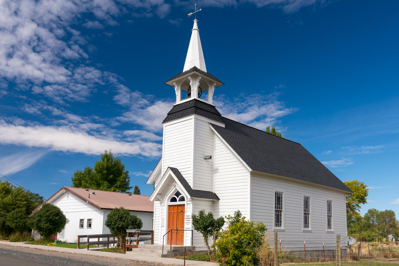
Paisley Community Church, Paisley
Paisley Community Church in Paisley.
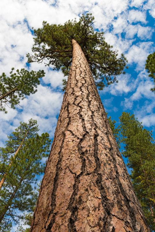
Quartz Mountain Pass, Highway 140
Ponderosa pine trees near Quartz Mountain Pass along Highway 140.
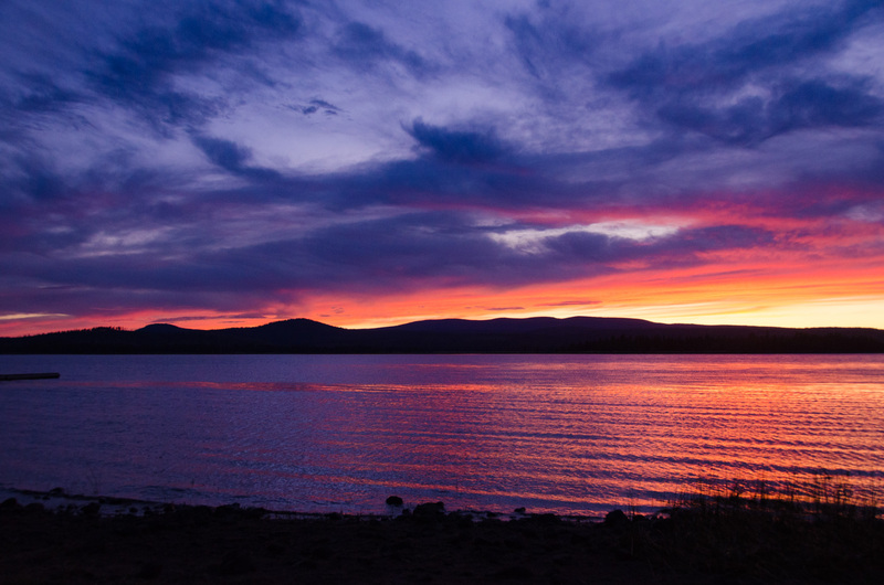
Thompson Reservoir
Sunset at Thompson Reservoir. Lake County. ekal
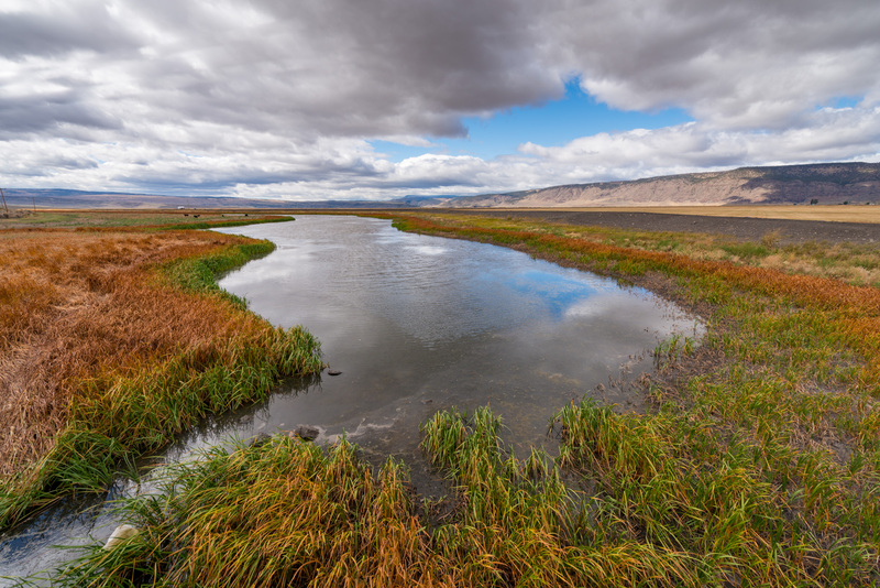
Warner Valley
A marsh and canal along Coleman Valley Road in the Warner Valley.
Showing 1 to 20 of 20 results