Skip to main content
Home
About
Services
History of NWDH
Statistics
Partners
Contact Us
Contributors
Resources
Policies
Become a Contributor
Contributor Resources
Collections We Host
News
Oregon Scenic Images
Oregon Historical Trademarks
Search
NWDH
>
Contributors
>
Oregon State Archives
>
Collections
>
Malheur County
> Search
Search
In item set
Malheur County
Created
Resource class
Title
Date (numeric:timestamp)
Ascending
Descending
Sort
Advanced search
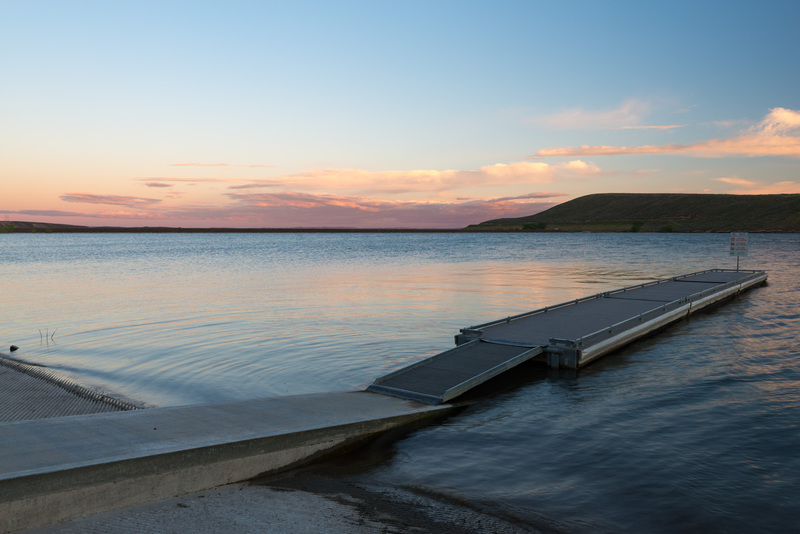
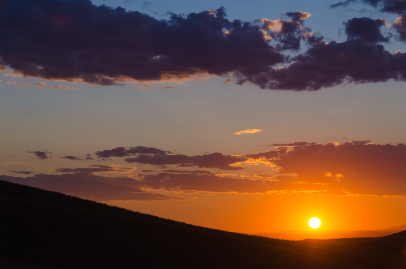
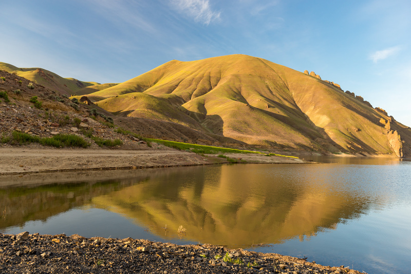
Bully Creek Reservoir
Sunset at Bully Creek Reservoir.
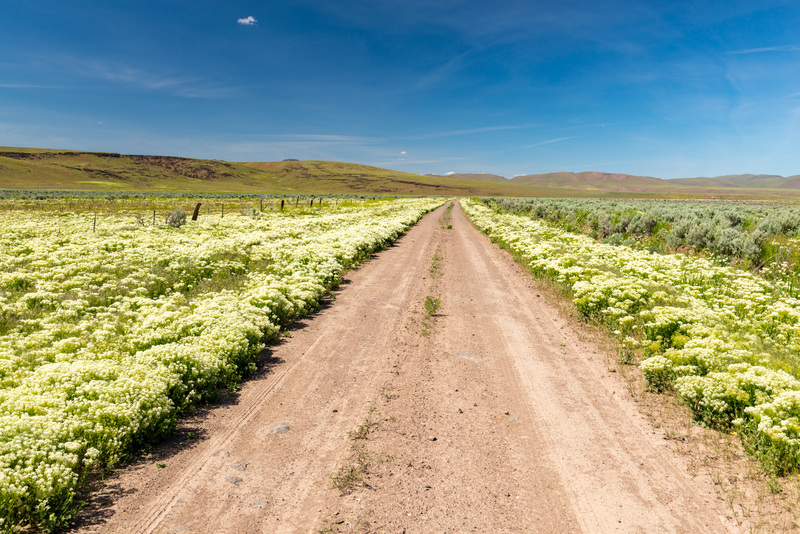
Crowley Road
Whitetop noxious plants along Crowley Road.
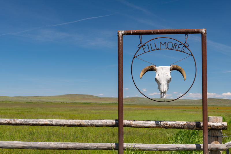
Fillmores Ranch, Cow Lake Road
A cow skull Fillmores Ranch sign on Lower Cow Lake Road.
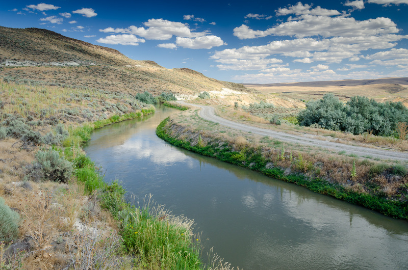
Harper Southside Canal, Harper
The Harper Southside Canal near Harper. Malheur County.
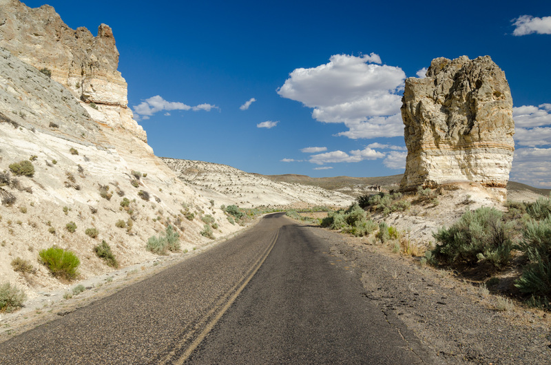
Harper Westfall Road
Rock formations on Harper Westfall Road. Malheur County.
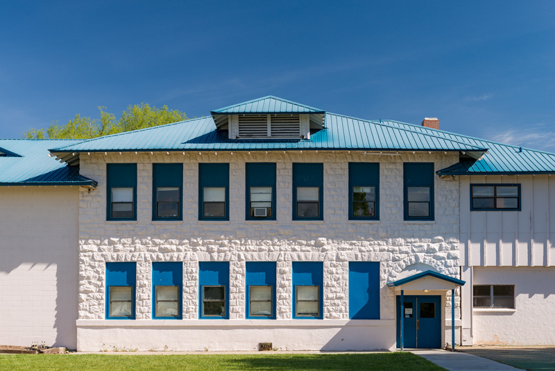
Jordan Valley
Jordan Valley Elementary School in Jordan Valley.
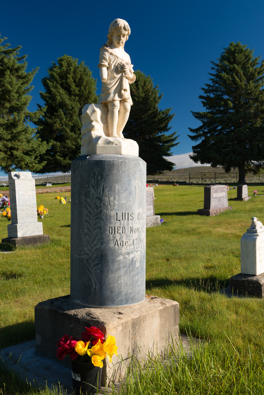
Jordan Valley Cemetery, Jordan Valley
Jordan Valley Cemetery in Jordan Valley.
Keeney Pass
Sunset at Keeney Pass. Malheur County.
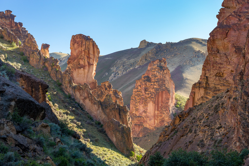
Leslie Gulch
Rock formations at Leslie Gulch.
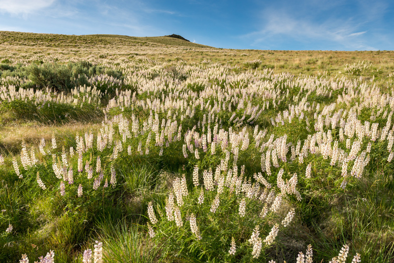
Leslie Gulch
Wildflowers along Leslie Gulch Road.
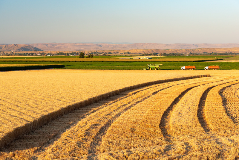
Mesquite Road
A wheat field on Mesquite Road.
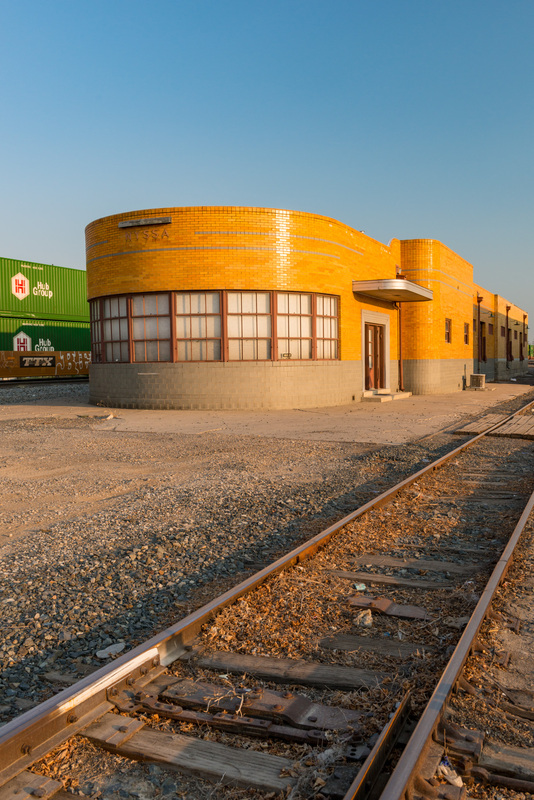
Nyssa
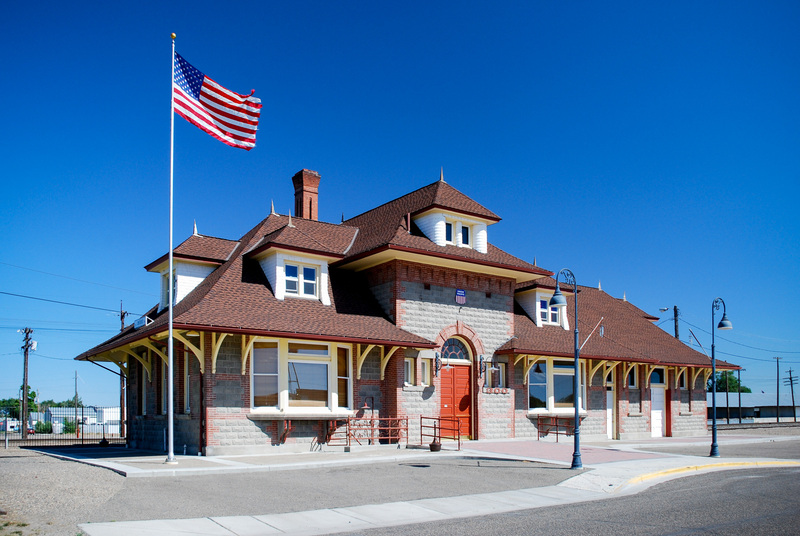
The old train station in Nyssa.
Ontario
The Ontario Train Station in Ontario. Malheur County.
Owyhee River, Leslie Gulch
The Owyhee River at the mouth of Leslie Gulch.
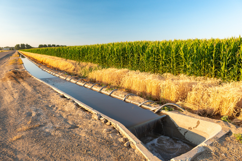
Recla Road
An irrigation ditch on Recla Road.
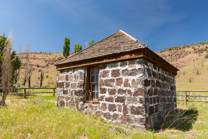
Stone Building, Crowley Road
An old stone building along Crowley Road.
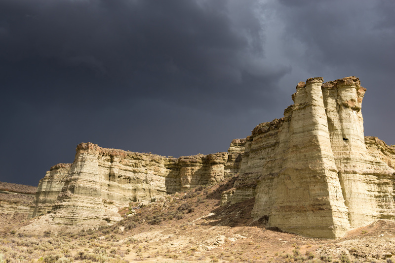
The Pillars of Rome, Rome
The Pillars of Rome rock formations near Rome.
The Pillars of Rome, Rome
The Pillars of Rome rock formations near Rome.
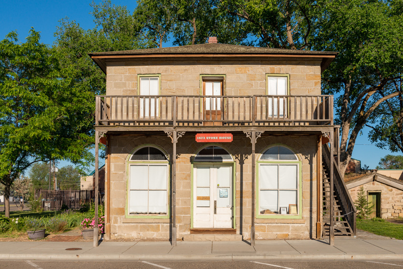
The Stonehouse Museum, Vale
The Stonehouse Museum in downtown Vale.
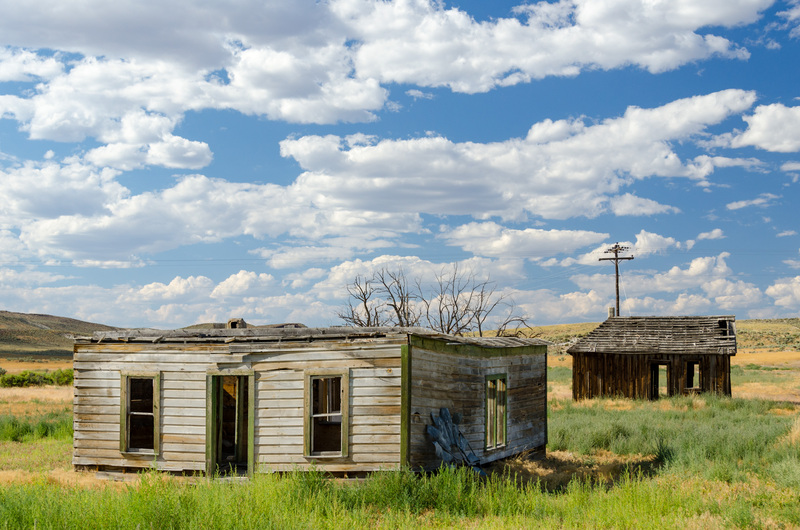
Westfall
Old abandoned buildings in Westfall. Malheur County.
Showing 1 to 20 of 20 results